Laramie’s Living History —
A Variety of Other Topics
A series of stories prepared for the Albany County Museum Coalition, an alliance of institutions that promote Laramie’s historic and cultural resources. This series originally appeared in the Laramie Boomerang.
Not all Albany County history falls into a specific category; a wide assortment of additional topics are covered on these pages.
Looking for something specific?
Search for things related to Albany County and Laramie, Wyoming.
For a better search experience, use specific words and phrases, like “Thornton Biggs”, “Professor Larson”, etc.
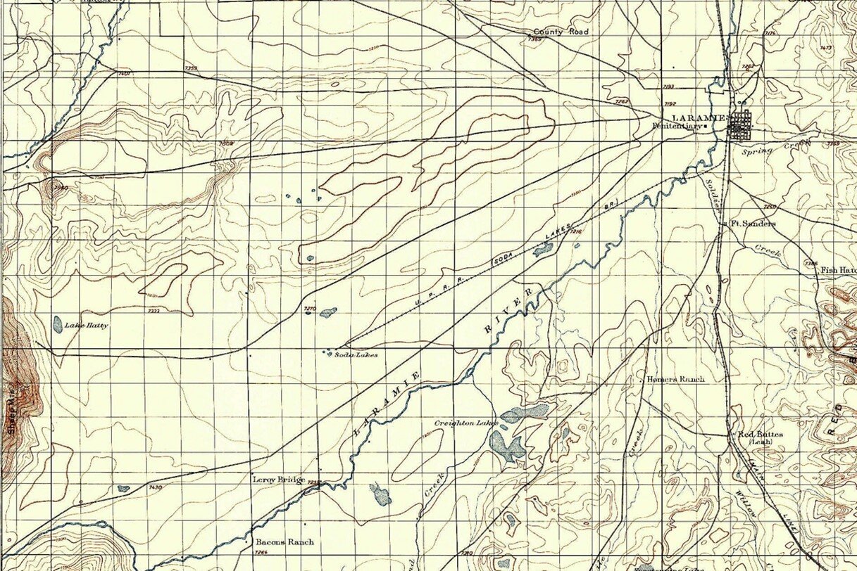
Mapping the Laramie Plains, Part II Third dimension captured at last
Methods had improved by the 1800s, when the young United States was acquiring large chunks of unknown territory. Maps by William Clark (of Lewis and Clark) and Charles Preuss (John C. Frémont's cartographer) added significantly to our geological knowledge. But they weren't perfect. Clark put today's Colorado too far north, thereby eliminating the Laramie Plains and much of southern Wyoming. Preuss's map was accurate for major features, but finer details could be unreliable, as we saw on the Laramie Plains.